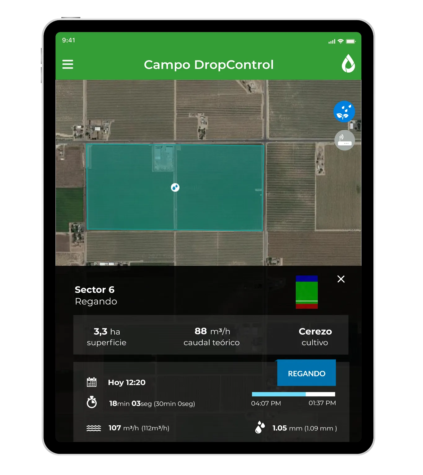
Satellite Imagery Integration
See your whole operation from above. WiseConn brings satellite imagery and vegetation indices into DropControl, so you can spot variability across the field and manage irrigation where it actually matters.

See variability, irrigate by zone
Satellite vegetation imagery (such as NDVI) shows how crop vigor varies across a field. With that view inside DropControl, next to your soil and weather data, you can manage irrigation by zone instead of treating the whole field the same.
How the integration works
Satellite imagery is available within DropControl alongside your other data sources, through WiseConn's open platform.
Built on an open architecture
DropControl is built on an open architecture and an open API, so you are not locked into a single vendor. You reuse the sensors and equipment you have already invested in, and manage everything from one platform.

Why growers choose WiseConn
More than 3,000 growers use DropControl every day to manage irrigation across thousands of fields around the world, on top of the systems and sensors they already run.
Frequently Asked Questions
Request a quote
Ready to bring precision irrigation to your operation? Talk to a WiseConn specialist and get a quote tailored to your operation. WiseConn solutions are delivered and installed through a certified distributor network, so you get local support from day one.